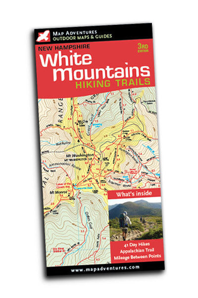

Map Adventures
White Mountains
- Regular price
- $4.95
- Sale price
- $4.95
- Regular price
Couldn't load pickup availability
Description
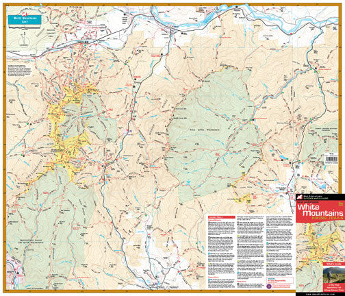
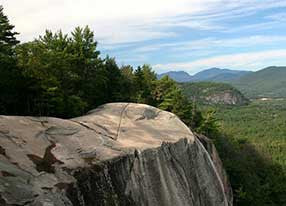
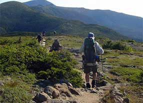
This richly illustrated map covers the highest and most popular peaks in the White Mountains of New Hampshire.
Map Features
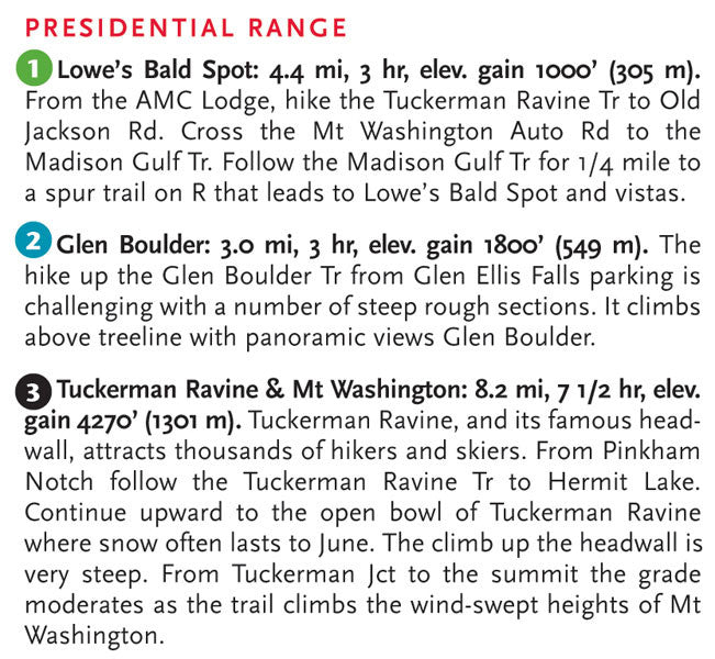
- 41 day hikes with full descriptions
- Difficulty ratings
- The Appalachian Trail
- AMC and White Mountain National Forest Huts and campsites
- Mileage between points on hiking trails
- UTM/GIS Grid
- Countours in feet
Areas Covered
- Mount Washington and the Presidential Range
- Crawford Notch
- Franconia Notch
- Mount Chocorua
- North Conway area
- Kancamagus Scenic Highway
Topographic Map: paper | 24" x 18" unfolded | ISBN 1-890060-06-2 | scale 1:50 000 | Map Adventures LLC
Frame
Discover our innovative product that blends cutting-edge design with unmatched functionality. Crafted for those who value quality and performance, it offers a unique experience you won’t find elsewhere. Elevate your everyday—check it out and see the difference.
Lens
Discover our innovative product that blends cutting-edge design with unmatched functionality. Crafted for those who value quality and performance, it offers a unique experience you won’t find elsewhere. Elevate your everyday—check it out and see the difference.
Size
Discover our innovative product that blends cutting-edge design with unmatched functionality. Crafted for those who value quality and performance, it offers a unique experience you won’t find elsewhere. Elevate your everyday—check it out and see the difference.